
Industry
Government & Urban Waste
Geodot redesigns collection routes from a census of pickup points, validates every drop-off against GPS and geofence, and records which points were served and which were missed.
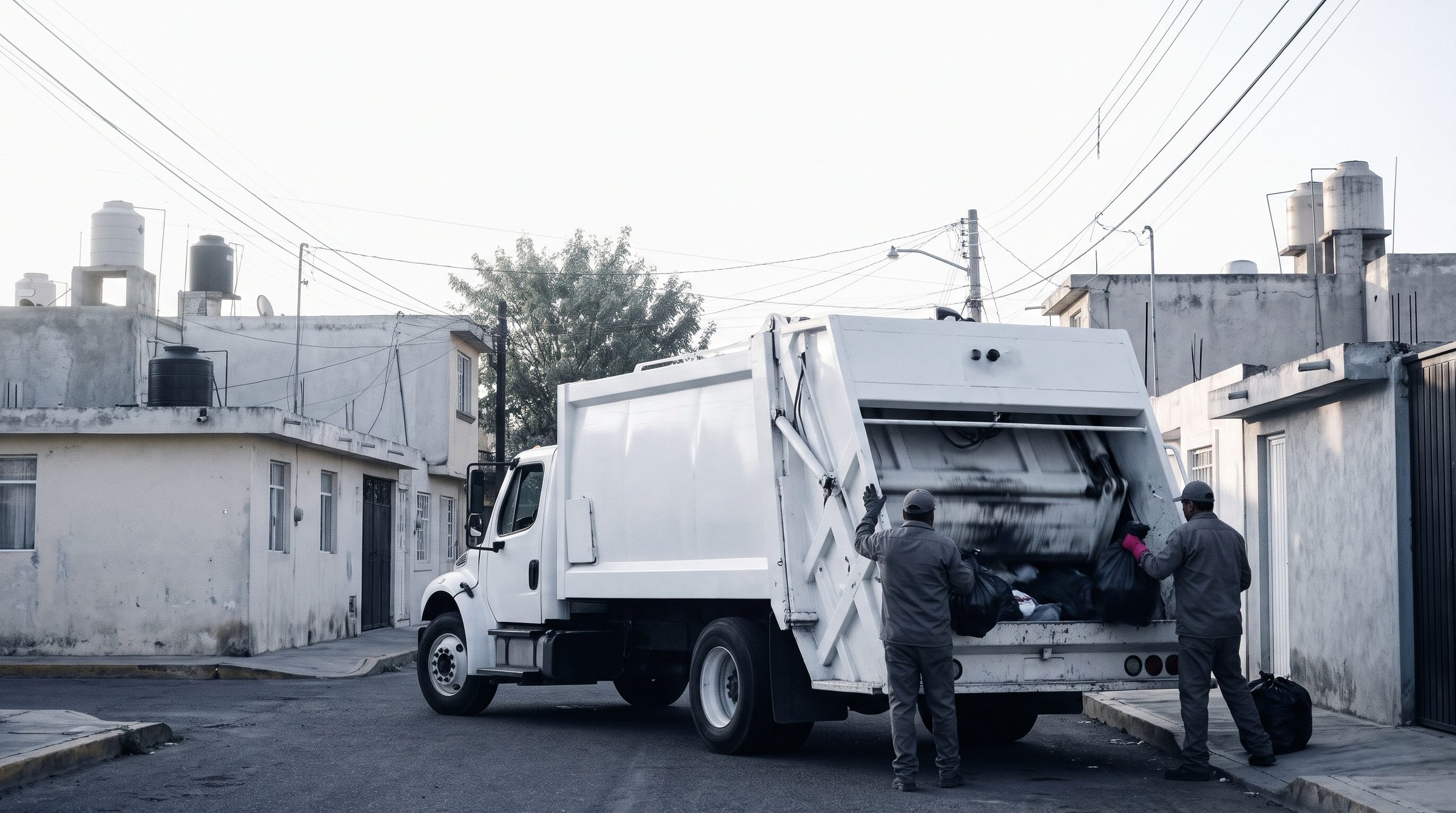
What waste collection does not record today
- Routes were designed years ago, and the city has grown since.
- Drop-offs are reported without an independent record to confirm them.
- There is no reliable data on where each truck is or which points were served.
- Mileage and operating cost are not attributed to each route.
Drop-offsValidated against GPS
Pickup pointsCensus by tonnage
RoutesRedesigned with iRouter
GPS providerThe one you already use
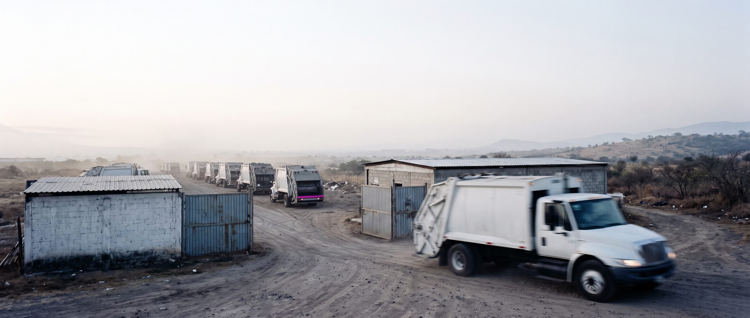
Modules for urban waste collection
Core modules
Complementary modules
Application scenarios
Drop-offs
Every drop-off is checked against raw GPS and the point's geofence, with a record of what was served, when and for how long, and which points were missed.
Scenario · daily collection
Census
Heat map of pickup points by density and estimated tonnage, as the basis for redesigning routes.
Scenario · route redesign
Costs
Mileage and cost attributed to each route, so the old and new designs can be compared over the same period.
Scenario · route evaluation
Next steps
- CasesOperations in productionBottler, fishing fleet and bonded warehouse at AIFA, in production. Anything shown in a demo is marked separately.See the case
- ImplementationA pilot before the contractA phased plan with reviewed deliverables and go-live criteria.See the methodology
- ROIPayback estimated with your dataTrucks, cost per trip and manual routing hours. You adjust the assumptions.Open the calculator
A review of your current routes
In the meeting we review your routes and pickup points and define the data needed to build the census.